Best Marine GPS App in 2026: 9 Apps Compared
By ToolNimba Editorial Team November 12, 2026 9 min read

- Top pick
 Navionics Boating
Most popular charts
Starting price$49.99 per yearCheck out Navionics BoatingRead our review - Runner-up
 Savvy Navvy
Smart passage routing
Starting price$129 per yearCheck out Savvy NavvyRead our review - Also great
 Aqua Map
Detailed US coastal charts
Starting priceSee websiteCheck out Aqua MapRead our review
How we researched this
We compared official pricing and feature pages, app store listings, privacy policies and public user reviews. Prices change, so check the provider's site before you pay.
Key takeaways
- Chart coverage for your cruising area matters more than any single feature, so check your region before you pay.
- Offline charts are essential offshore, since mobile signal fails exactly where you need navigation most.
- Paid apps mainly add routing, weather, AIS, and updated charts, while free apps can cover basic chart plotting well.
- A phone app is a superb backup and planning tool, but it should not replace proper seamanship, paper charts, or a fixed plotter on serious passages.
Quick comparison
| Name | Best for | Starting price | Free plan | |
|---|---|---|---|---|
| Navionics Boating | Most popular charts | $49.99 per year | Yes | Visit |
| Savvy Navvy | Smart passage routing | $129 per year | Yes | Visit |
| Aqua Map | Detailed US coastal charts | See website | Yes | Visit |
 iNavX | Multi-chart flexibility | See website | Yes | Visit |
 C-MAP | Budget classic charts | $14.99 per year | Yes | Visit |
 Wavve Boating | Easy recreational boating | $69.99 per year | Yes | Visit |
 Argo Navigation | Free social boating | Free | Yes | Visit |
 Garmin ActiveCaptain | Garmin plotter companion | Free | Yes | Visit |
 OpenCPN | Free desktop and mobile plotting | Free | Yes | Visit |
The best marine gps apps
We compared official app listings, chart sources, and pricing for marine navigation apps that boaters and sailors actually use today. Prices for chart regions vary, so check the price for your area in the app before buying, and download offline charts before you leave shore.
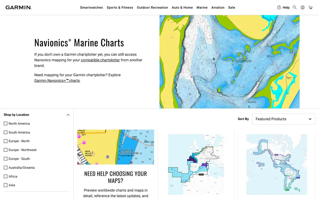
Navionics Boating, from Garmin, is the default choice for many recreational boaters. Its vector charts cover large areas, with depth contours, navigation aids, sonar imagery, and community edits, and the app works as a chartplotter on your phone or tablet. A chart subscription for a region starts around $49.99 per year in the US store, with other regions priced separately.
The catch is that the app is free to download but limited without a subscription, and you need the right region for your waters. If you boat in one region and want the most widely supported charts, Navionics is our pick for most people. Download your charts for offline use before departure, since signal offshore is unreliable.
- Widely used Navionics charts
- Depth shading and sonar data
- Plotter compatibility
- Chart regions are priced separately
- Subscription needed for full features
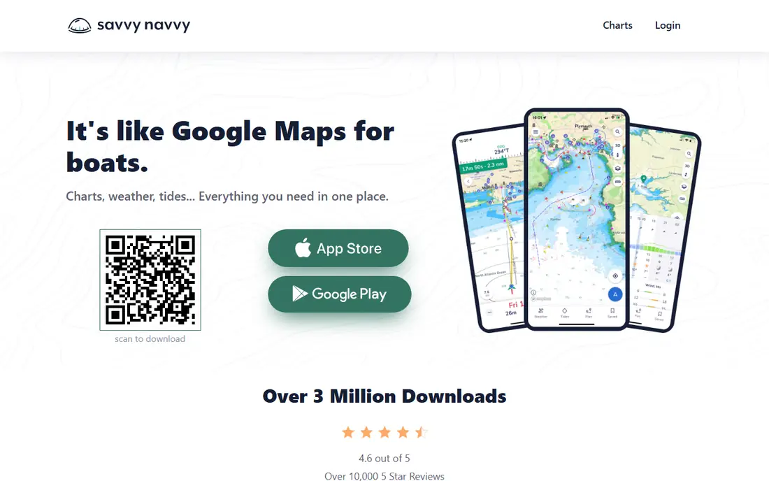
Savvy Navvy, often styled as savvy navvy, focuses on passage planning rather than just showing your position on a chart. It routes around wind, tides, and depth, suggests departure times, and estimates fuel needs, which helps sailors and longer-distance powerboaters plan properly. The free version lets you explore charts, while premium opens routing, offline charts, and extra features.
The price, around $129 per year in published comparisons, is higher than simpler apps, so casual weekend boaters may not need it. For cruisers making longer passages where tide timing and weather routing matter, Savvy Navvy is the most planning-focused app here and worth the premium.
- Weather and tide-aware routing
- Departure planning
- Sync across devices
- Higher price than rivals
- Premium needed for offline charts and full routing
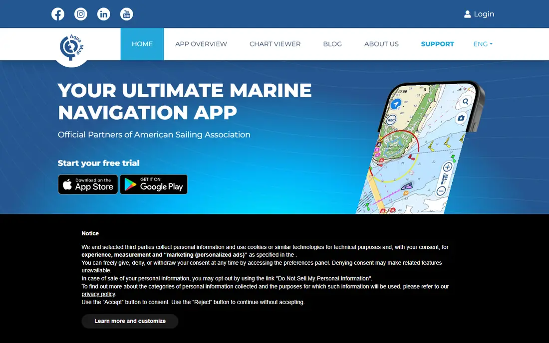
Aqua Map suits US coastal boaters who want detailed charts without paying for a whole world package. You buy chart regions as needed, and the app includes US Army Corps of Engineers survey data, depth shading, and anchor and marina information in supported areas. Offline charts are a core feature, not an afterthought.
Modular pricing means the total depends on your regions and add-ons, so check the in-app price for your cruising area. The interface is practical rather than pretty, but for a boater with a defined area, Aqua Map offers strong value and detail.
- Modular chart buying
- Detailed US coastal data
- Offline charts
- Pricing is modular and can add up
- Interface is functional rather than polished
iNavX is the flexible choice for experienced boaters. It supports charts from Navionics, C-MAP, NOAA, and other providers, so you can pick the chart set you trust for each area. It also connects to onboard instruments via NMEA where supported, and offers waypoint, route, track, weather, and tide tools in one app.
That flexibility comes with complexity. You must buy charts separately, and costs vary by provider, so the total is hard to compare at a glance. For advanced users, Mac users, and boaters who want a backup plotter with their preferred charts, iNavX is hard to beat. Beginners may prefer Navionics or Wavve for a simpler start.
- Charts from many providers
- NMEA instrument support
- Waypoint and route tools
- Setup is more technical
- Chart costs vary by provider and region
The C-MAP app offers a budget route into marine charts, with a premium annual tier listed around $14.99 per year in comparisons. Its charts suit boaters who want reliable navigation in familiar waters without paying for advanced routing or weather tools. Offline chart downloads cover the core need for coastal cruising.
It lacks the smart routing and rich community layers of Savvy Navvy or Navionics, so it is best for straightforward navigation rather than complex passage planning. If price is the main factor and you boat in familiar areas, C-MAP is a sensible, low-cost pick.
- Low annual price
- Classic chart style
- Offline charts
- Fewer routing and community features than premium rivals
Wavve Boating aims at recreational boaters who want navigation without a steep learning curve. Depths, buoys, tides, and weather sit front and centre, and draft-aware shading helps you avoid water too shallow for your boat. The premium tier, listed around $69.99 per year, opens fuller chart and feature access.
Serious offshore sailors may want the deeper routing of Savvy Navvy or the chart choice of iNavX. For weekend boaters, families, and new boat owners, Wavve is our pick for ease of use, since it gets you on the water confidently without a manual.
- Simple interface
- Draft-aware depth shading
- Community and trip features
- Less suited to complex offshore routing
- Premium needed for full features
Argo Navigation offers a free tier with charts, trip planning, and community features, plus a Premium tier around $39.99 per year for offline charts and extras. That free entry makes it a good first app for new boaters who want to try marine navigation before paying. Social features let you share trips and see local boating activity.
The free tier limits offline use, which matters offshore, so treat Argo as a free trial and day-boating tool unless you upgrade. For budget-conscious boaters in areas with signal, or as a second app alongside a paid plotter, Argo is a useful addition.
- Free tier with charts and community
- Trip planning
- Social features
- Offline charts need Premium
- Fewer advanced routing tools
Garmin ActiveCaptain is the free companion app for Garmin chartplotters and marine devices. It lets you plan routes, sync waypoints, update charts, and check marina information from your phone, then transfer plans to your plotter. If you already own Garmin hardware, it ties the whole system together at no extra cost.
Without Garmin hardware, its value drops sharply, since it is not designed as a standalone navigation app for all boaters. For Garmin owners, though, it is essential and free. Install it before your next trip and sync your routes at home over Wi-Fi, not at the marina.
- Free companion app
- Syncs with Garmin plotters
- Marina and chart updates
- Best value only with Garmin hardware
- Not a standalone chartplotter replacement
OpenCPN is a free, open-source chartplotter for desktop, with a mobile version available as a paid download on some app stores. It supports many chart formats, plugins for weather, AIS, and routing, and detailed route and waypoint tools. Technically minded sailors value its control and its zero desktop cost.
Setup takes effort, from chart installation to plugin configuration, so it is not a beginner's first app. As a backup plotter, a planning tool at home, or a primary plotter for a tech-savvy sailor, OpenCPN is unmatched for value and flexibility.
- Free open-source chartplotter
- Huge plugin range
- Desktop strength
- Technical setup
- Mobile app is a paid download on some stores
How we picked these
We compared official app listings, chart sources, and pricing, and we kept only apps that are available now and that provide real marine GPS chart plotting, not just tide tables or logbooks. We favoured apps with offline charts, clear chart region pricing, and a usable free or trial path. We left out single-purpose tide or weather apps, and apps with no verifiable chart offer.
How to choose a marine GPS app safely
Start with your cruising area and your boat. Check that the app covers your waters in detail, including harbours, channels, and shallow areas you actually use. A beautiful app with poor charts for your region is worse than a plain app with accurate local data.
Download charts before you leave
Mobile signal is unreliable offshore, in estuaries, and behind headlands. Download every chart region you need, test the app in flight mode at home, and carry a charged backup device or power bank. Check chart update dates too, since channels and aids to navigation change.
Treat the app as one layer, not the whole system
Use the app alongside a fixed plotter where fitted, paper charts for serious passages, and basic seamanship: lookout, depth sounder, compass, and tide tables. Check the app's position against visual marks and depth readings, especially in shallow or poorly charted water. No app replaces local knowledge or a proper passage plan.
Match routing to your experience
Smart routing helps, but it does not know your boat's handling, your crew's limits, or local hazards that are not on the chart. Review every suggested route, check tides and weather from a second source, and be ready to change plans. If a route looks too clever for the conditions, take the simpler, safer option.
Sources
Frequently asked questions
What is the best marine GPS app?
Navionics Boating is our pick for most recreational boaters, Savvy Navvy is our pick for passage routing, and Wavve Boating is our pick for ease of use. The best app depends on your waters, your boat, and whether you need routing or just charts.
Can I use a marine GPS app offline?
Yes, most apps here offer offline charts, but you must download them before you leave shore, and some require a premium tier for offline access. Test offline mode at home before relying on it offshore.
Do marine GPS apps replace a chartplotter?
For day boating and as a backup, a good app can be enough. For serious offshore passages, a fixed plotter, paper charts, and proper instruments remain the safer setup, with the app as a planning and backup layer.
How much do marine GPS apps cost?
Prices vary by chart region. Budget options start around $14.99 per year, popular apps around $49.99 to $69.99 per year, and routing-focused apps around $129 per year. Free apps like OpenCPN and Argo cover basic plotting at lower or no cost.
What charts should I check for my area?
Check coverage, detail, and update frequency for your harbours, channels, and shallow areas, plus whether the app includes tides, currents, and marina data. Download the region and inspect a familiar harbour at several zoom levels before you pay for a wider area.