Best Navigation App in 2026: 9 Apps Compared
By ToolNimba Editorial Team November 1, 2026 10 min read

- Top pick
 Google Maps
All-round navigation and places
Starting priceFreeCheck out Google MapsRead our review - Runner-up
 Waze
Live driving alerts and rerouting
Starting priceFreeCheck out WazeRead our review - Also great
 Apple Maps
iPhone integration and privacy
Starting priceFreeCheck out Apple MapsRead our review
How we researched this
We compared official pricing and feature pages, app store listings, privacy policies and public user reviews. Prices change, so check the provider's site before you pay.
Key takeaways
- Google Maps is our pick for most people, because it covers driving, walking, cycling, and transit with the largest place database.
- Waze is our pick for daily drivers who want live community alerts and fast rerouting around traffic and hazards.
- Apple Maps suits iPhone users who value privacy and system integration, while HERE WeGo and OsmAnd suit offline travel.
- Sygic suits truck drivers and offline premium navigation, while MapQuest and TomTom GO offer useful alternatives for specific driving needs.
Quick comparison
| Name | Best for | Starting price | Free plan | |
|---|---|---|---|---|
| Google Maps | All-round navigation and places | Free | Yes | Visit |
| Waze | Live driving alerts and rerouting | Free | Yes | Visit |
| Apple Maps | iPhone integration and privacy | Free | Yes | Visit |
 HERE WeGo | Offline maps for travel | Free | Yes | Visit |
 OsmAnd | Offline maps and privacy | Free | Yes | Visit |
 Sygic GPS Navigation | Premium offline and truck routes | Free | Yes | Visit |
 TomTom GO Navigation | Reliable driving routes | See website | Free trial | Visit |
 MapQuest | Simple driving directions and routes | Free | Yes | Visit |
 Komoot | Cycling and hiking routes | Free | Yes | Visit |
The best navigation apps
We compared official feature pages, pricing pages, and app store listings, and we favored apps that still work today on iOS, Android, or web, offer turn-by-turn navigation, and cover a clear use: daily driving, transit, offline travel, trucks, or outdoor routes.
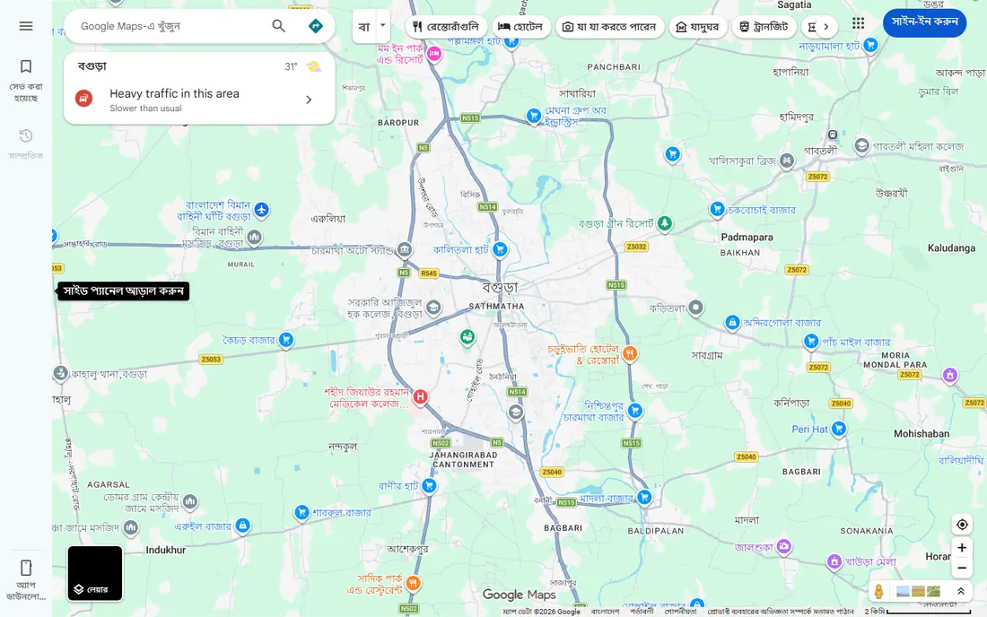
Google Maps is the best navigation app for most people, because it does the most jobs well in one free app. Driving routes include live traffic and ETAs, transit directions cover buses and trains in many cities, and walking and cycling routes help when you leave the car behind. Its place database, with reviews, photos, hours, and menus, also helps you choose where to go, not just how to get there.
The limits are worth noting. Multi-stop driving routes cap at 10 stops, which frustrates delivery drivers and long road trips with many stops. Google also collects more location data than Apple Maps, so privacy-minded users should review location settings. For everyday navigation, though, Google Maps remains the default to beat.
- Largest place database with reviews and hours
- Driving, walking, cycling, and transit routes
- Offline maps for downloaded areas
- Multi-stop routes are limited to 10 stops
- Data collection is broader than Apple Maps
Waze is the best navigation app for drivers who care most about what is happening on the road right now. Its community reports flag crashes, hazards, road closures, and police presence, and the app reroutes quickly when traffic builds. That live layer helps commuters save time on familiar routes, where a static map would miss a new incident.
Waze is less useful off the road. Walking, cycling, and transit directions are weak or missing, and full offline maps are not available, so rural or low-signal driving needs a backup. Ads also appear in the app. For daily driving in busy areas, Waze is still a strong companion to Google Maps.
- Community reports for hazards, police, and traffic
- Fast rerouting around incidents
- Fuel prices and ETA sharing
- Driving only, with weak walking and transit support
- No full offline maps
- Ads in the app
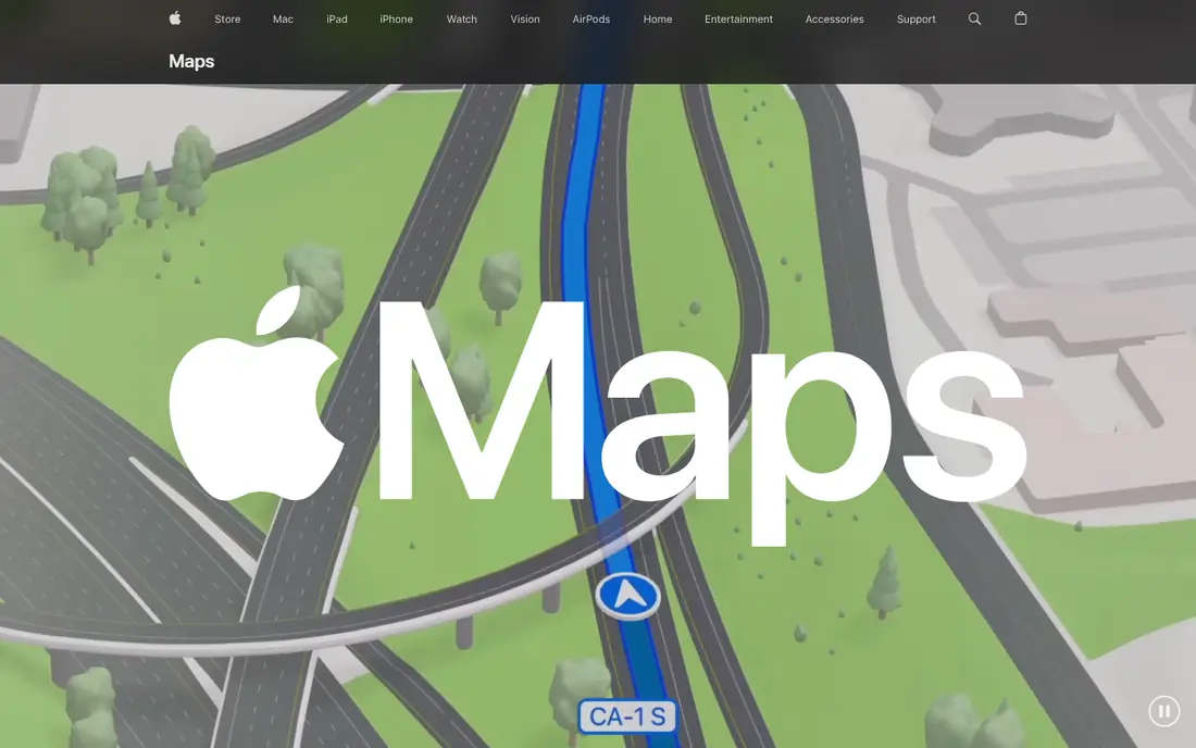
Apple Maps is the best navigation app for iPhone users who want a clean, private default. It integrates with Siri, CarPlay, and Apple Watch, offers turn-by-turn driving, walking, cycling, and transit directions, and supports offline maps for downloaded areas. Its privacy approach links less location data to your identity than Google Maps, which matters to many users.
The main limit is platform. Apple Maps does not run natively on Android, so Android users must choose another app. Place reviews and business data also lag Google Maps in some areas, though Apple has improved coverage steadily. For iPhone owners, Apple Maps is a strong free default that needs no install.
- Deep integration with iPhone, CarPlay, and Apple Watch
- Cleaner privacy approach with less data linked to identity
- Offline maps for saved areas
- Apple devices only
- Place data is less deep than Google Maps in some regions
HERE WeGo is the best navigation app for travelers who need reliable offline maps. Download a country or region before you leave, then navigate without a data connection, which helps abroad, in rural areas, and on flights where roaming costs matter. Driving, walking, and transit routes all work offline for downloaded areas.
Live alerts and place depth lag the leaders. HERE WeGo will not match Waze for community hazard reports, and its business listings feel thinner than Google Maps in some cities. As a free offline backup, or as a main app for travel without data, HERE WeGo is hard to beat.
- Completely free
- Strong offline map downloads by country or region
- Driving, walking, and transit routes
- Live traffic alerts are weaker than Waze
- Place data is thinner than Google Maps
OsmAnd suits travelers and privacy-minded users who want maps without heavy data collection. Built on OpenStreetMap data, it offers detailed offline maps, contour lines, and route options for driving, walking, and cycling. You can navigate without an account for basic use, which keeps location data on your device.
The free tier limits you to a set number of map downloads, and the interface assumes more map knowledge than Google Maps or Apple Maps. Paid options remove those limits. If offline maps and privacy matter more than live traffic alerts, OsmAnd is one of the best navigation apps available.
- OpenStreetMap data with strong offline support
- Privacy-focused with no account needed for basic use
- Walking, cycling, and driving routes
- Free tier limits map downloads
- Interface feels technical for new users
Sygic is the best navigation app for drivers who need offline premium navigation or truck-specific routes. Its offline maps work without data, and its truck profile lets drivers set vehicle height, weight, axle count, and cargo limits so routes avoid unsuitable roads. That feature set matters for professional drivers and large vehicles.
The free tier covers basic navigation, but traffic, speed cameras, and advanced features need a paid plan. Check the current subscription price in your app store, since Sygic pricing varies by region and plan. For everyday car drivers, Google Maps or Waze may suffice. For truck drivers and offline travelers, Sygic earns its price.
- Strong offline maps
- Truck routing with vehicle size and weight settings
- Speed camera and traffic features on paid tiers
- Best features need a paid subscription
- Interface can feel busy
TomTom GO Navigation brings the standalone GPS maker experience to phones. Its traffic data and routing are reliable, its lane guidance is clear, and its offline maps help drivers in low-signal areas. Speed limit alerts and camera warnings, where legally available, add safety value for regular drivers.
The app needs a paid subscription after a trial, so it suits drivers who value TomTom routing enough to pay for it. Place search and local discovery lag Google Maps, so many users pair TomTom GO for driving with Google Maps for finding places. Check the current subscription price on the vendor site before subscribing.
- Reliable TomTom traffic and routing
- Offline maps
- Clear lane guidance and speed alerts
- Paid subscription needed after trial
- Place search is weaker than Google Maps
MapQuest remains a useful free alternative for simple driving directions. Its web and mobile apps offer turn-by-turn routes, multi-stop planning, and local search with gas prices, without requiring a subscription. For drivers who want a straightforward route without extra features, MapQuest still works well.
Live traffic, transit, and place data are weaker than Google Maps, and the app feels less modern than Apple Maps or Waze. Still, as a free backup or a simple route planner on a computer, MapQuest deserves a place on this list. Use it for planning, then navigate with your preferred driving app if you need live alerts.
- Free and easy to use on web and phone
- Multi-stop route planning
- Gas prices and local search
- Live traffic and place depth lag Google Maps
- App design feels dated next to newer apps
Komoot is the best navigation app for outdoor routes, even though it is not a car app. It builds turn-by-turn routes for road cycling, mountain biking, hiking, and gravel riding, using surface, elevation, and community highlights to pick better paths than a car map would. Offline maps for downloaded regions help on trails without signal.
Car drivers should skip Komoot as a main app, since driving is not its job. Outdoor users should check region pricing, since the first region is often free and additional regions cost extra or come in a bundle. For weekend rides and hikes, Komoot pairs well with Google Maps for the drive to the trailhead.
- Turn-by-turn routes for cycling, hiking, and mountain biking
- Offline maps for downloaded regions
- Community route highlights
- Car navigation is not the focus
- Full region maps need a paid bundle or purchase
How we picked these
We compared official feature pages, pricing pages, and app store listings, and we favored apps with turn-by-turn navigation, current map data, and a clear use case. We covered all-round apps, driving apps, offline apps, truck apps, and outdoor apps, because the question of what navigation app is the best depends on how you travel.
We did not claim hands-on lab testing. Our judgments rest on documented features, published pricing, and public reviews, which is enough to match an app to a travel style and to flag offline and platform limits.
How to choose the right navigation app
Start with your main travel mode. Car commuters should try Waze for alerts or Google Maps for all-round use. iPhone users should try Apple Maps first, since it is free and built in. Travelers without reliable data should try HERE WeGo or OsmAnd for offline maps. Truck drivers should try Sygic for vehicle-aware routing.
Next, test the app on a familiar route before a long trip. Check voice guidance, lane guidance, rerouting speed, and battery use, since those details matter more on the road than a feature list. Finally, download offline maps for your destination, keep a second app as backup, and never rely only on a phone for safety-critical driving decisions. Pull over to adjust a route rather than editing it while driving.
Sources
- https://maps.google.com
- https://www.waze.com
- https://www.apple.com/maps/
- https://wego.here.com
- https://osmand.net
- https://www.sygic.com
- https://www.tomtom.com/en_gb/navigation/
- https://www.mapquest.com
- https://www.komoot.com
- https://worldofsoftware.org/the-best-navigation-apps-weve-tested-for-2026/
- https://nextbillion.ai/feeds/blog/alternatives-waze-google-maps